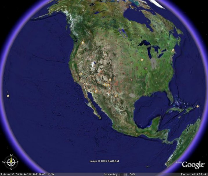
Satellite images are available for Kitt Peak, the VLA, Fort Davis, and North Liberty: just click on the appropriate mark on the map. To see more satellite images of earth, go to Google Earth.